Our revised maps for Durham’s greenways and all sections of the ATT are now available from this site (links are on the left sidebar of the homepage. For the Durham and Greenways Map: http://www.triangletrails.org/pdfs/ATT_map_page1-2015.pdf and for the Chatham and Wake Map: http://www.triangletrails.org/pdfs/ATT_map_page2-2015.pdf . These maps show north to south mileage markers on the ATT based on the measurements TRTC conducted in August. We also show the I-40 bridge as part of the trail, updated the names of some roads, added the location of some benches and fountains put in since 2010, and included notes and icons for the new trailhead facility under construction by the Town of Cary at New Hope Church Road (opening estimated for summer 2015). Since 2010, ATT users have told us that they really found our maps useful and with this feedback we decided to invest the time and resources to research these changes and apply the revisions to our previous maps. We hope you like them!!
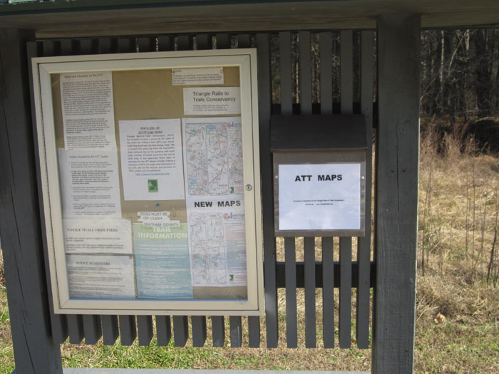
January 22– We’ve just installed a maps box on the kiosk at Scott King road and will be stocking it with copies of our 2015 map. We’ll also have copies in the kiosk box at O’Kelly Chapel Road.
New ATT Maps Availale for Printing and Download