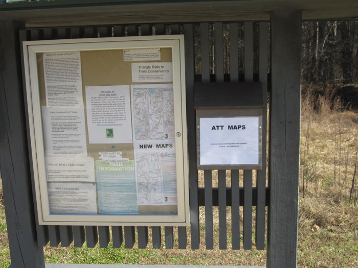
Durham’s Transportation Department has prepared two useful bike and hike maps in PDF format which show all trails, greenways and parks within the county. These maps complement our ATT maps for those planning longer cycling rides that involve both trails and public roads.
Additionally, Durham, Cary and Apex plan to connect local greenways to the American Tobacco Trail. Connections are also possible to the New Hope Corridor foot trails in Orange and Durham counties; and to the North Carolina Mountains-to-the-Sea bicycle route. The feasibility of connections to Chapel Hill and to Harris Lake County Park are also being studied. These connections would form a 70 mile network.
View a simple map of the paved section in Durham showing some landmarks and intersections.
Cary’s Bicycle Plan was issued in September 2002. The Plan for Greenway and trails facilities was prepared in 1998. Since these Plans were prepared, Cary’s Greenways have seen a significant expansion and bicycling facilities in this growing Town have also been expanded. In 2011 Cary began efforts to prepare a Parks, Recreation and Cultural Resources Master Plan. Public meetings and other public input processes were held in the Spring and Summer of 2011 and key findings and issues have been prepared. Phase 3 of the Plan development–options & recommendations–should be completed by March 2012 with release of the Plan scheduled for May 2012. To keep abreast of these developments and find links to share your ideas and concerns with the Town regarding the development of Cary’s future parks system, you may want to go to the Cary Parks web site.
Maps and Directions
- 2007 Map of ATT Features and Mileage from Raleigh News and Observer (still a useful map but note that bridges shown as missing over Northeast and Panther Creeks are now fully functional)
- Directions to Wake County Trailheads on the ATT
- Directions to Chatham and Durham County ATT access points


