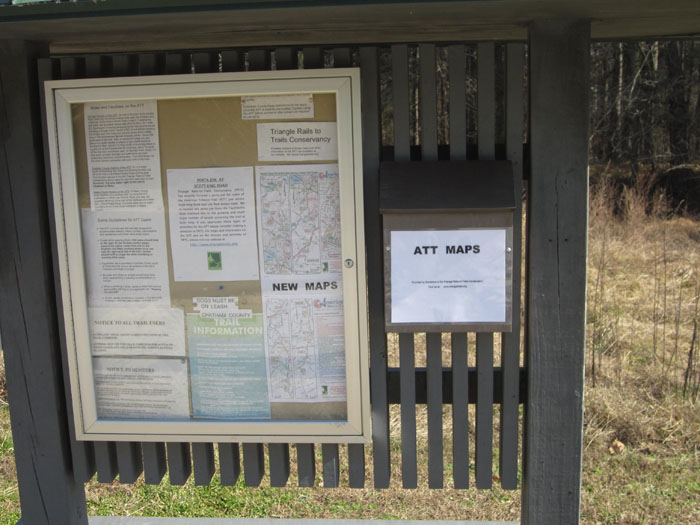
We have just posted updated maps of the ATT (see left hand sidebar) showing mile points, water access and other info for all three counties as well as connections for the nearby greenways in Durham. Among other changes, we added notes about the recently completed White Oak Creek trail which now connects with the ATT just north of the Wimberly Road parking area. Give it a try, its all hard surface but has lots of boardwalks and is a bit different than the ATT. As previously, our maps are in PDF format and can be printed. Hard copies of these maps are generally available at the trail kiosks at Scott-King Road, O’Kelly Chapel Road and by the rest room bulletin board at the New Hope Church Road trailhead. Copies are also available at the REI stores in Durham and Cary.


